Drones

Drones are aircraft that can fly autonomously or be operated remotely, usually without a human on board. They are widely used in many fields, and their technology is constantly evolving, making them increasingly diverse in performance and functionality.

Types of drones

Classification by flight mode:
Fixed-wing drones: have fixed wings, similar to traditional aircraft, suitable for long-term flight and covering large areas.
Rotor drones: include multi-rotors (such as quadcopters) and single rotors, usually have better hovering capabilities, suitable for short-distance flight and precision operations.
Classification by use:
Civil drones: used for commercial purposes such as agriculture, logistics, photography, and surveying.
Military drones: used for military purposes such as surveillance, reconnaissance, combat, and precision strikes.

A white drone rests on a grass field during a summer sunset, showcasing technology in nature.
Application areas of drones

Agriculture: used for crop monitoring, precision fertilization, sowing and pest control, improving production efficiency and resource utilization.
Logistics and transportation: used for express delivery and cargo transportation, especially for remote areas or emergency delivery needs.
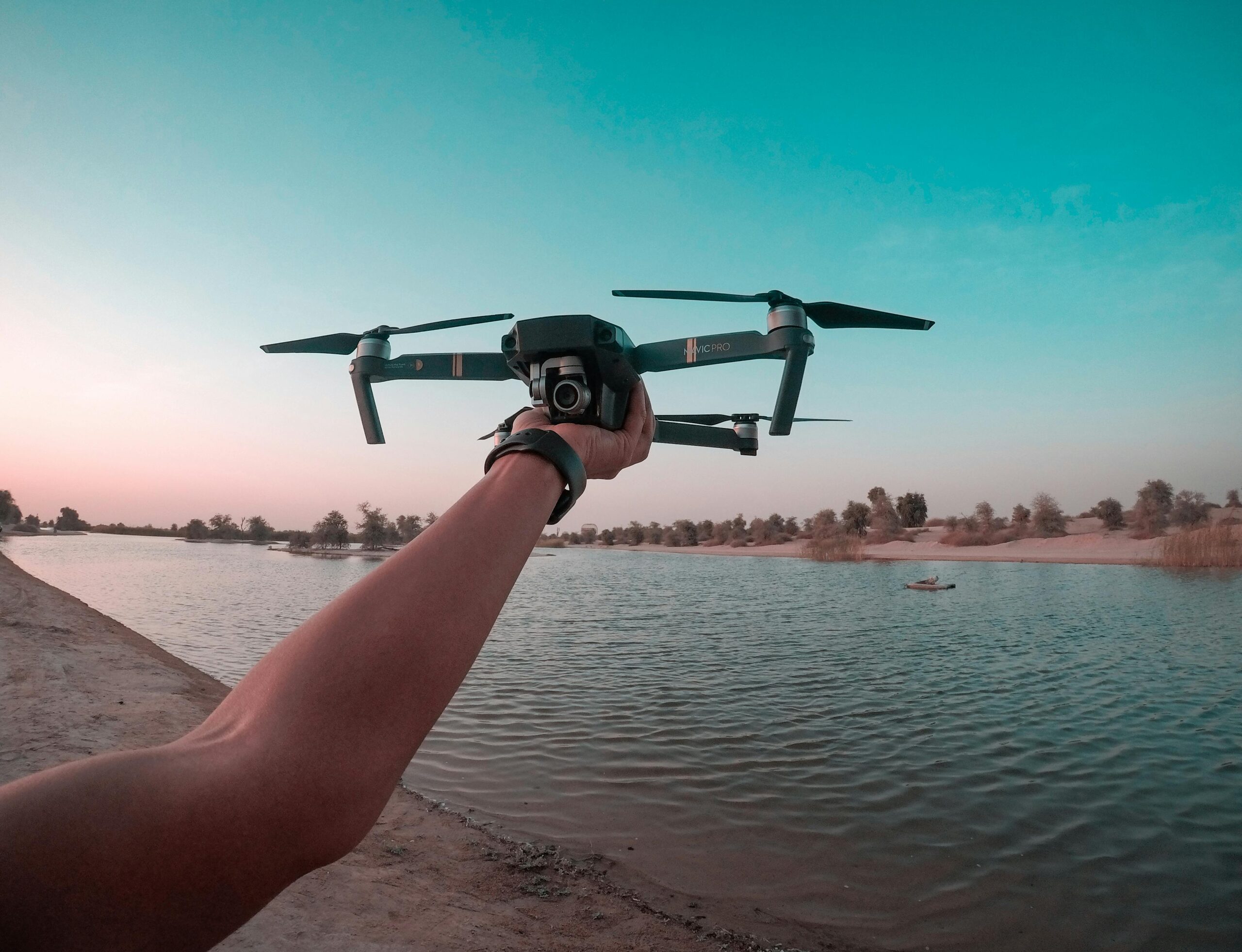
Film and photography: used for aerial photography, documentary filming and event live broadcast, providing unique perspectives and creative effects.
Surveying and mapping: used for geographic information collection, 3D modeling and environmental monitoring, improving the accuracy and efficiency of mapping.
Security and monitoring: used for border monitoring, disaster relief, traffic management, and building and infrastructure inspection.
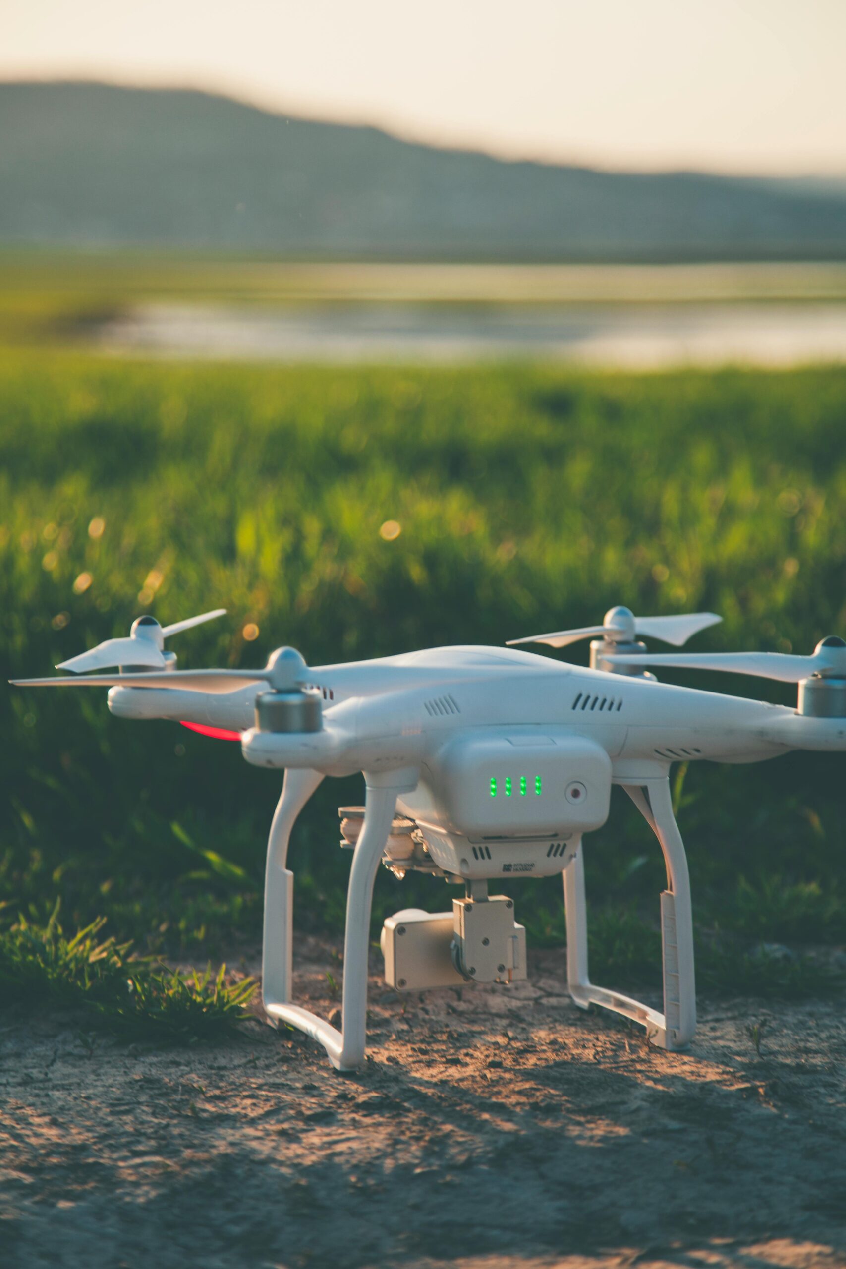
A person holds a drone over a lake in the Dubai desert, showcasing a scenic aerial view.
How Drones Work

Flight control system: The drone is equipped with a flight controller, which is responsible for processing sensor data and calculating the flight attitude and direction to ensure stable flight.
Power system: The power source is usually a battery or fuel cell, and the electric motor or internal combustion engine drives the rotor or propeller of the drone to provide the required lift and thrust.
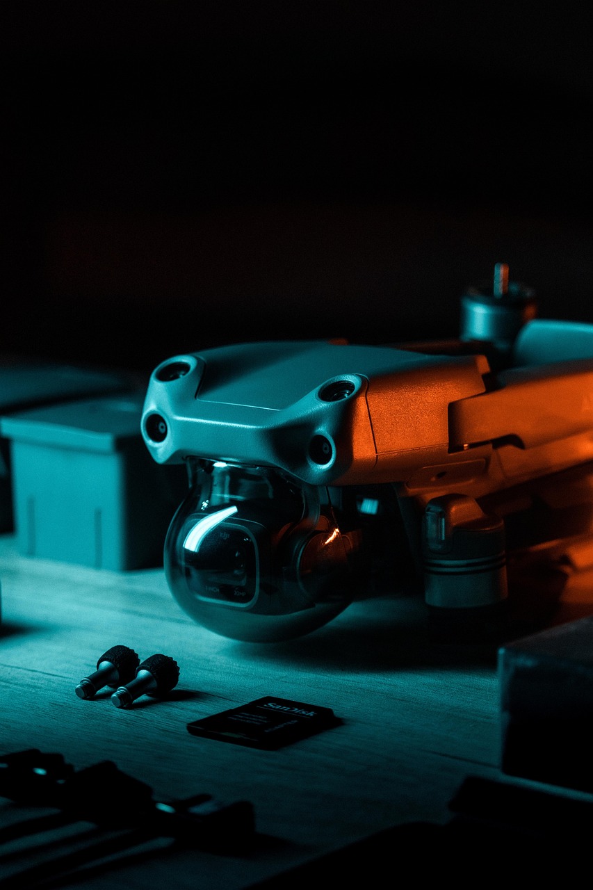
Sensor and navigation system: The drone is equipped with a variety of sensors (such as GPS, accelerometer, gyroscope, camera, lidar, etc.), which can obtain real-time information on position, speed and surrounding environment.
Communication system: The drone interacts with the control equipment (such as remote control or operating platform) through radio communication to achieve remote control and data transmission.

dji, drone, aerial, photography, camera, film, editing, lightroom, landscape, trend, dji, dji, dji, drone, drone, drone, drone, drone, lightroom, lightroom, lightroom, lightroom
Future development trend of drones

Intelligence and automation: With the development of artificial intelligence and machine learning technology, drones will have stronger autonomous decision-making and intelligent operation capabilities.
Longer flight time and endurance: In the future, drones will adopt more efficient energy systems, such as solar energy or new batteries, to extend flight time and range.
Enhanced safety and reliability: Anti-collision systems and safety measures will be further developed to ensure stable flight of drones in complex environments.
Improvement of legal and regulatory frameworks: With the popularization of drone applications, countries will formulate more complete laws and regulations to regulate the use and management of drones and ensure airspace safety.

About Us

We are a company focusing on the research and development of drones. We have advanced technology and a professional team, and can provide customers with high-quality drone products and solutions. Our drone products have advanced flight control technology and stability, and can provide customers with efficient and accurate flight experience. We also provide customized services, designing and manufacturing corresponding drone products according to customer needs and actual conditions, helping customers to realize drone applications in various scenarios. We will also continue to pay attention to the development and innovation of the drone industry, provide customers with the latest products and services, and help customers achieve efficient application of drones and business development.

A couple enjoying their time flying a drone in a sunny park with clear skies and lush greenery.
VictTech UAV inc

Our Services

The services provided by drones in various industries are constantly expanding, enhancing work efficiency and safety, while also promoting innovation and technological progress.

Agricultural services
Precision agriculture: Drones are equipped with high-resolution cameras and sensors to monitor crop health, soil moisture, and pests and diseases, thereby achieving precise fertilization and irrigation and improving agricultural production efficiency.
Surveying and Geographic Information System (GIS) Services

Topographic Surveying: UAVs can be used for geographic surveying, 3D modeling and map making, collecting accurate geographic information, and are widely used in engineering, urban planning, environmental monitoring and land management.
Film and Television Production and Photography Services
Aerial Photography: Drones offer a unique perspective in films, commercials and events, capturing high-quality aerial perspectives to create stunning visuals and footage.
Logistics and delivery services
Express delivery and cargo transportation: Drones can deliver small cargo quickly and efficiently, and are particularly suitable for the last mile delivery needs in remote areas and urban environments. Many companies are testing drone delivery services to improve logistics efficiency.
Security and monitoring services
Security monitoring: Drones can be used for border patrols, facility monitoring, and disaster relief, helping to improve public safety and personal protection through real-time video transmission and data analysis.
Environmental monitoring services
Ecological monitoring and disaster assessment: Drones can be used to monitor air, water quality, wildlife and their habitats, assess the impact of natural disasters (such as floods, fires, earthquakes) on the environment, and provide timely and accurate data support.
VictTech UAV inc

Our information

Company name: VictTech UAV inc
Company address: 4131 E Cullumber Ct Gilbert AZ 85234
Email: bardrone@victtechuav.win

VictTech UAV inc

Good reviews for us